
Land Surveying & Mapping
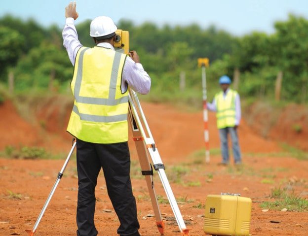
Land Surveying & Mapping
Land surveying and mapping are fundamental disciplines that underpin modern society by providing accurate spatial information about our world. From boundary delineation to infrastructure development, this dynamic field plays an indispensable role in shaping our physical landscape. In this article, we will explore the fascinating realm of land surveying and mapping, shedding light on its history, applications, and future prospects.
Origins and Evolution
The roots of land surveying trace back thousands of years to ancient civilizations, where it was used primarily for taxation, military strategy, and land distribution. The first known surveyor was King Sargon of Akkadians around 2334 BCE, who employed cords and ropes to measure distances between cities. Over time, technological advancements have transformed the industry from traditional methods using chains and levels to state-of-the-art Global Navigation Satellite Systems (GNSS).
Defining Key Concepts
Land Surveyors
Professionals responsible for measuring and depicting the three-dimensional characteristics of the earth’s surface, often working with GNSS technology, total stations, or other advanced tools.
Topography
The study of the shape and contours of the earth’s surface, which includes elevations, depressions, and slopes. Topographical maps display this information visually.
Geodesy
The science concerned with the size and figure of the earth, and the determination of position on its surface. Geodetic control networks form the basis for all large-scale mapping activities.
Applications and Benefits
- Real Estate Development: Accurately establishing property lines and assessing potential risks before construction begins.
- Urban Planning: Enabling informed decision-making regarding city planning, zoning, and transportation systems.
- Environmental Management: Monitoring changes in ecosystems and identifying critical habitats.
- Archaeology: Locating historical sites and preserving cultural heritage.
- Agriculture: Optimizing irrigation systems, crop rotation patterns, and soil conservation strategies.